top of page

Properties
Click on the Parcel name to see its location via the Town of Westbrook's MapGeo system. (not working currently!) Click on the Photo of a parcel to enlarge the picture.
Parcel | Date Acquired | Description | Area (Acres) | V/P | Unique ID Map/Lot | Photo |
|---|---|---|---|---|---|---|
ELLIOTT (EASEMENT) | 2007 | Upland Forest | 51 | 285/1015 | E0109600 113/012 | |
FAWN HILL RD. | 1974 | Upland Forest | 3.61 | 76/151 | W0518900 177/098 |  |
SHELTER HARBOR LN. | 1976 | Wetlands & Ponds | 1.41 | 82/255 | W0519100 177/159 |  |
McVEAGH RD. | 1971 | Creek & Upland Forest | 2.08 | 68/545 | W0519200 161/014 |  |
0.66 | W0520300 161/068 |  | ||||
HAMMOCK RD. | 1969 | Tidal Marsh | 0.99 | 65/83 | W0519300 185/019 |  |
1972 | 3.44 | 72/626 | W0519900 185/021 |  | ||
TROUT LAKE DR. | 1978 | Tidal Pond & Upland | 3.86 | 85/1035 | W0519400 186/046 |  |
MINK ROCK CIR.
| 1978 | Upland Forest | 4.5 | 85/816 | W0519500 163/011 |  |
MALABAR | 1977 | Upland Forest | 3.79 | 84/67 | W0519600 109/015 | 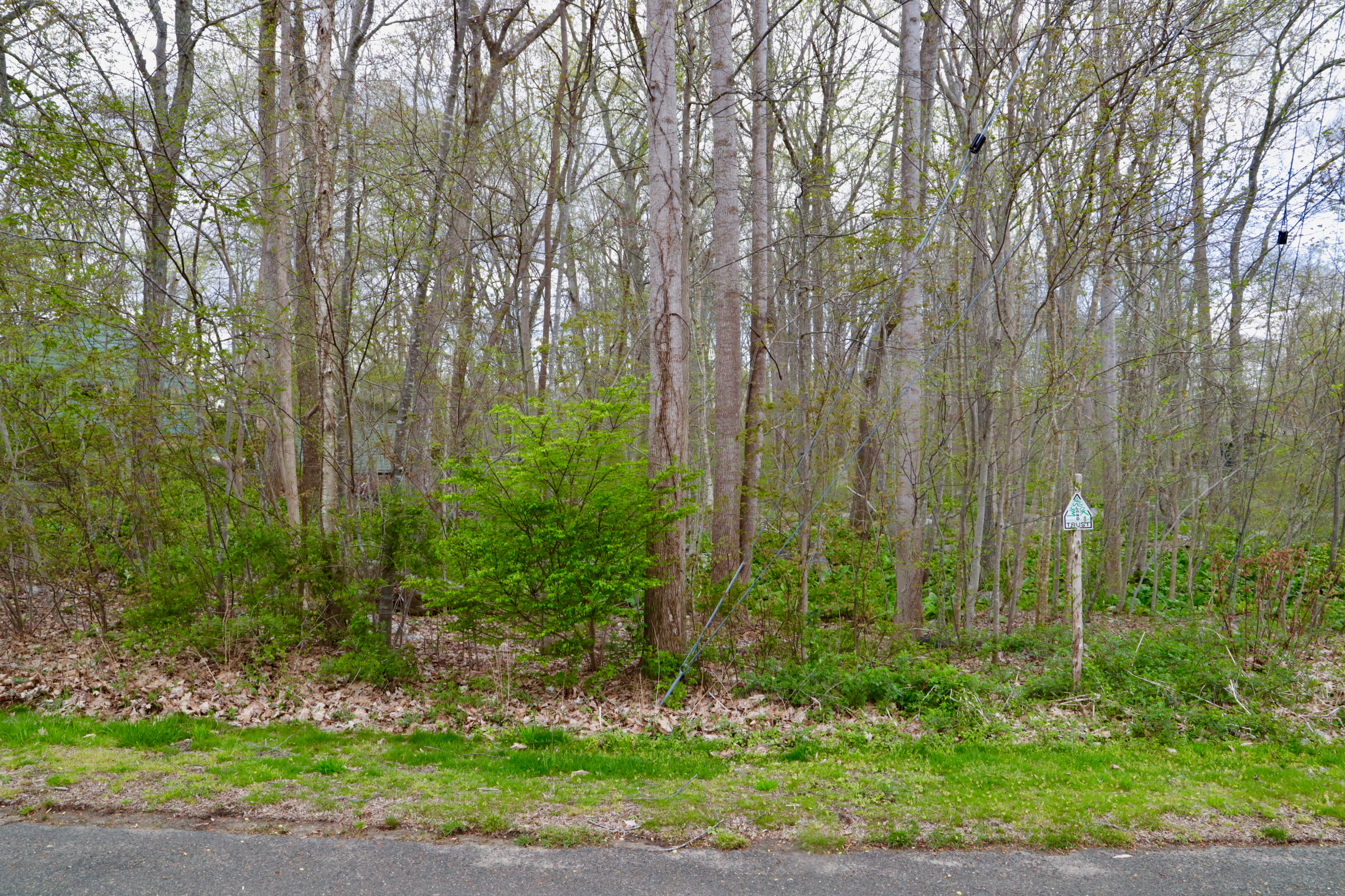 |
2012 | Upland Forest | 313/1028 | 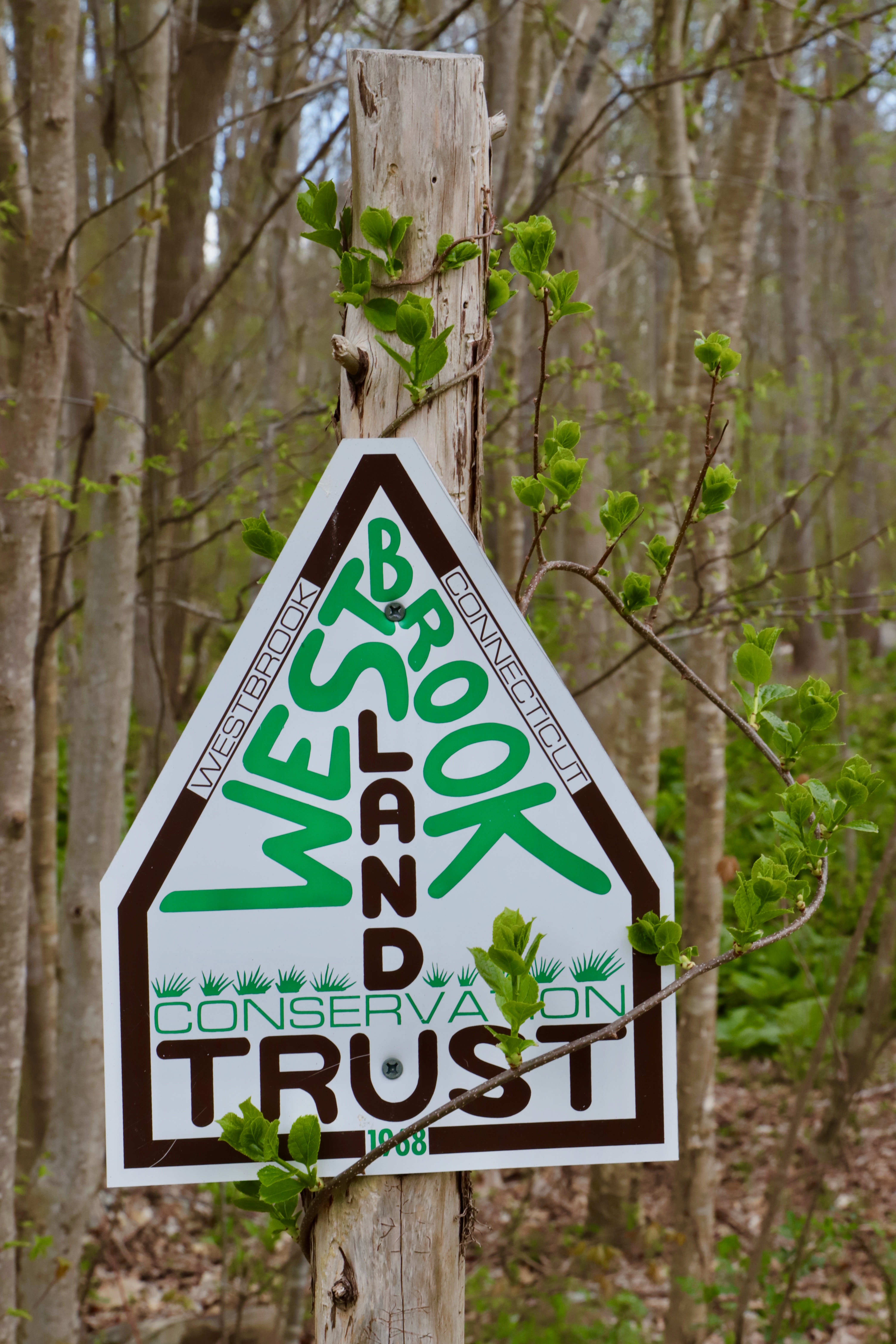 | |||
MESSERSCHMIDT | 1992 | Upland Forest | 2.01 | 151/371 | M0240300 109/018 | |
WEST POND MEADOW RD. | 1977 | Wetland & Forest | 1.34 | 84/407 | W0519700 144/040 | 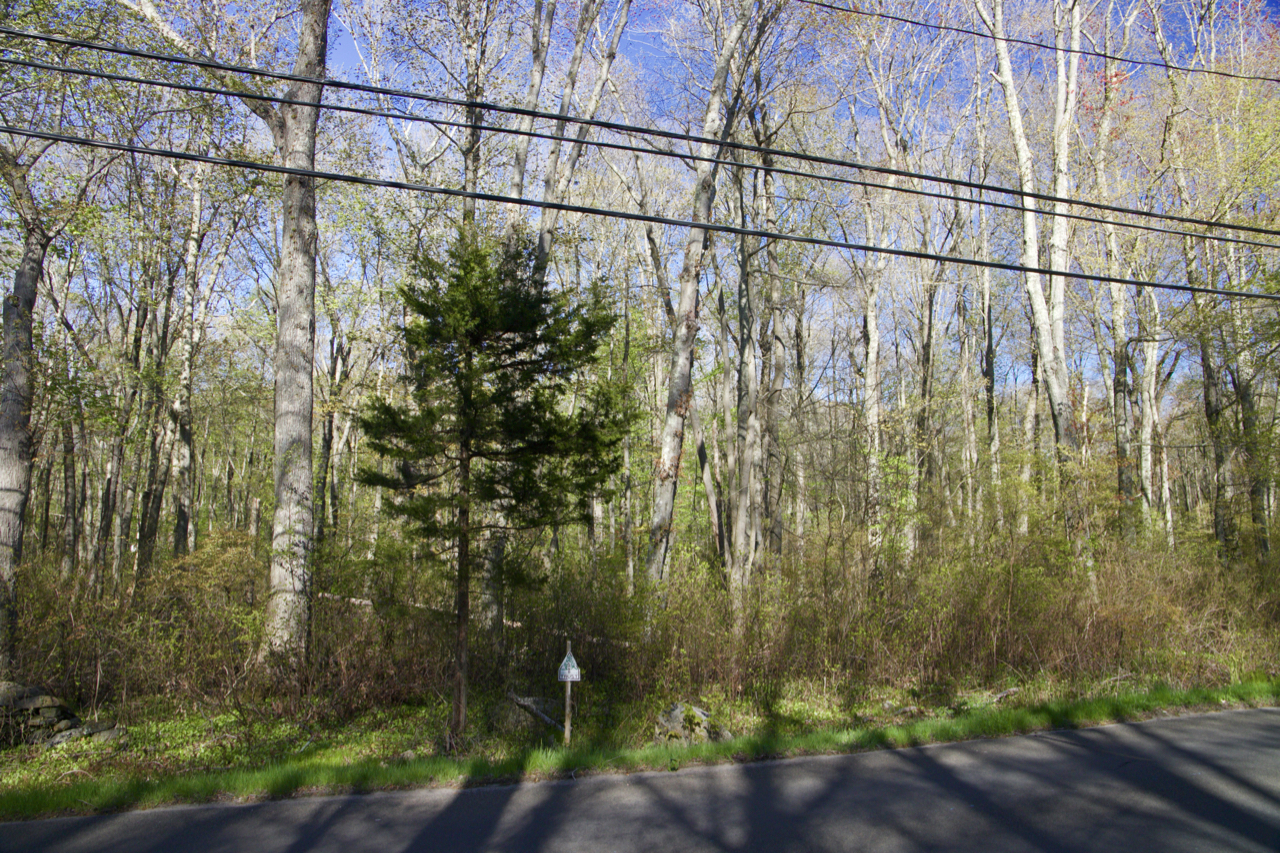 |
CARROLL STANNARD | 1974 | Tidal Marsh | 5 | 77/267 | W0520000 188/012 |  |
BARN WAY | 1979 | Tidal Wetland & Upland | 2.57 | 88/207 | W0520100 182/058 |  |
ORTNER DR. | 1988 | Creek & Upland Forest | 3.24 | 126/634 | W0520200 142/002 | 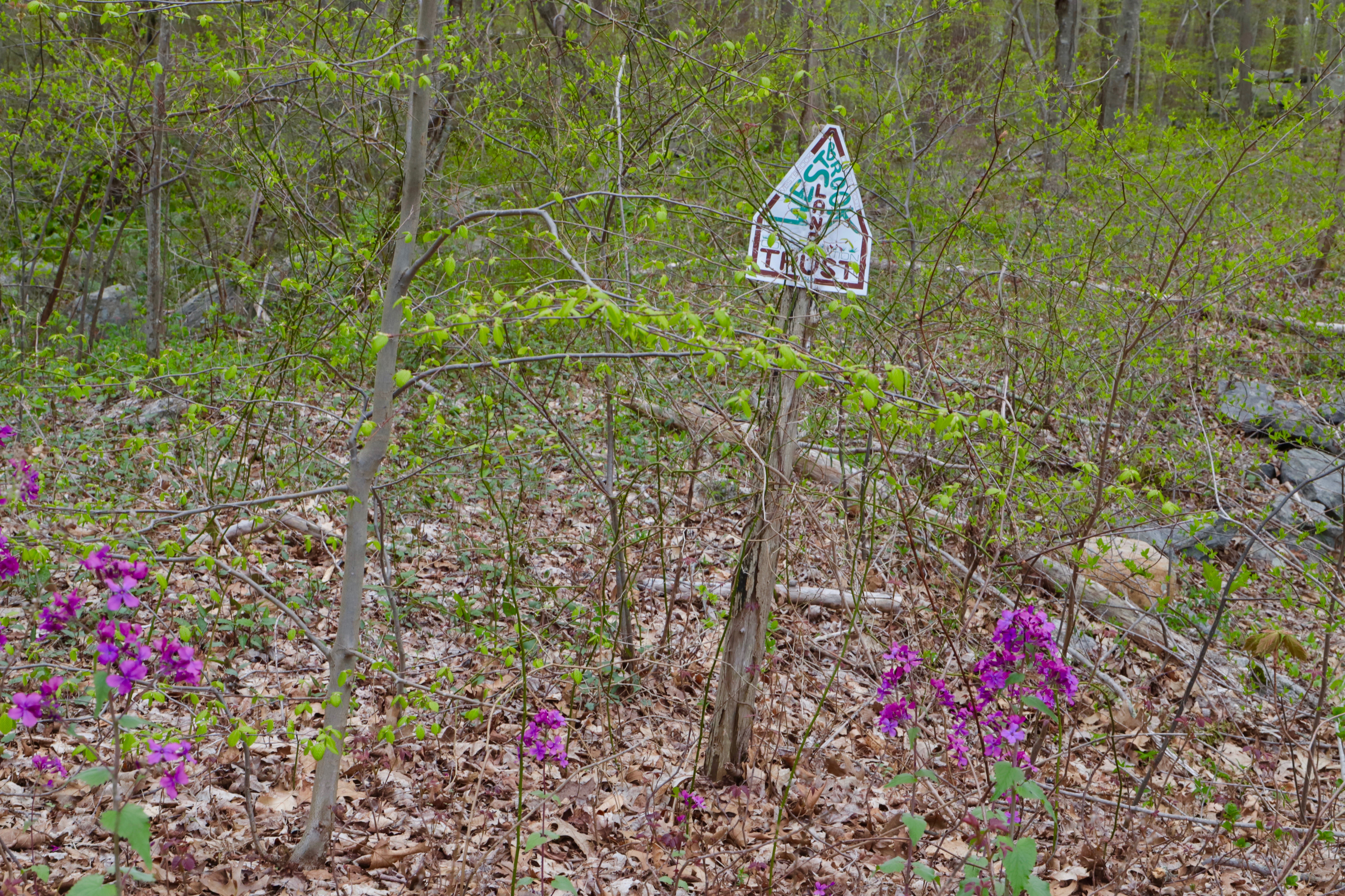 |
PRITCHETT DR. | 1989 | Creek & Upland Forest | 2.32 | 131/539 | W0519800 113/028 | 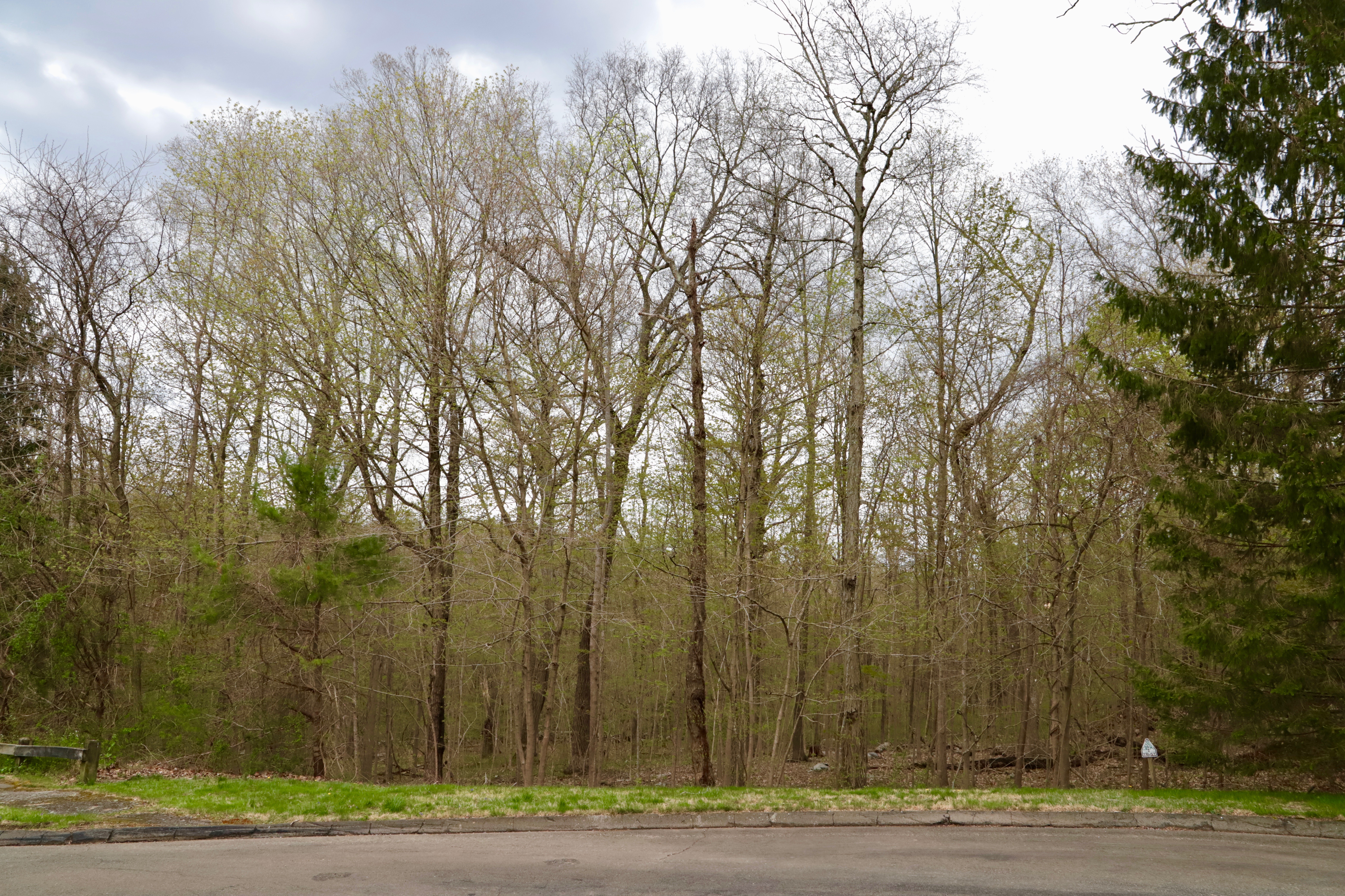 |
FISHING BROOK RD. | 1989 | Brook & Upland Forest | 9.63 | 131/554 | W0519000 153/019 |  |
POND MEADOW SPLIT | 1993 | Vernal Pool & Upland | 0.5 | 158/620 | C0068800 145/011 |  |
TROJANOWSKI | 2001 | Vernal Pool & Upland | 0.9 | 217/177 | B0028602 145/1035 | |
PLYMOUTH RD. | 1993 | Wetland & Upland Forest | 5.77 | 160/890 | Z0932900 150/028 |  |
BIG CREEK (in 2019 transferred to US Fish & Wildlife) | 1994 | Transferred to USFWS | 1.9 | 166/333 | M0218500 186/030 | |
SEACAPE | 1994 | Tidal Wetland & Upland | 0.13 | 166/388 | R0307400 182/097 |  |
HOMESTEAD HILLS | 1994 | Wetland & Upland Forest | 2.28 | 166/698 | H0165700 131/003 |  |
1.03 | H0164800 131/002 |  | ||||
BLUE POINT | 1995 | Wetland & Upland Forest | 4 | 173/101 | S0341420 150/031 | |
HORSE HILL FARM | 1996 | Wetland & Upland Forest | 13.79 | 178/816 | P0276125 114/014 |  |
WILCOX | 1998 | Creek & Upland Forest | 4.99 | 183/557 | W9760090 115/003 |  |
1.11 | W9760030 124/005 |  | ||||
ZITO | 1999 | Wetland Upland | 8.68 | 200/944 | F0116810 123/005 | |
STANNARD GARDENS | 2000 | Tidal Wetland & Upland | 0.16 | 203/494 | S0330400 181/095 |  |
LYNN RD. BRIDGE | 1999 | Pond, River & Upland | 0.45 | 201/442 | F0117300 116/014 | |
WINTERBERRY CIR. | 2002 | Wetland & Upland Forest | 1.64 | 223/353 | H0157060 163/089 |  |
TIMBERLANE DR. | 2006 | Creek, Wetland, Forest, Trail | 14.7 | 269/0081 | T037032A 120/023 | 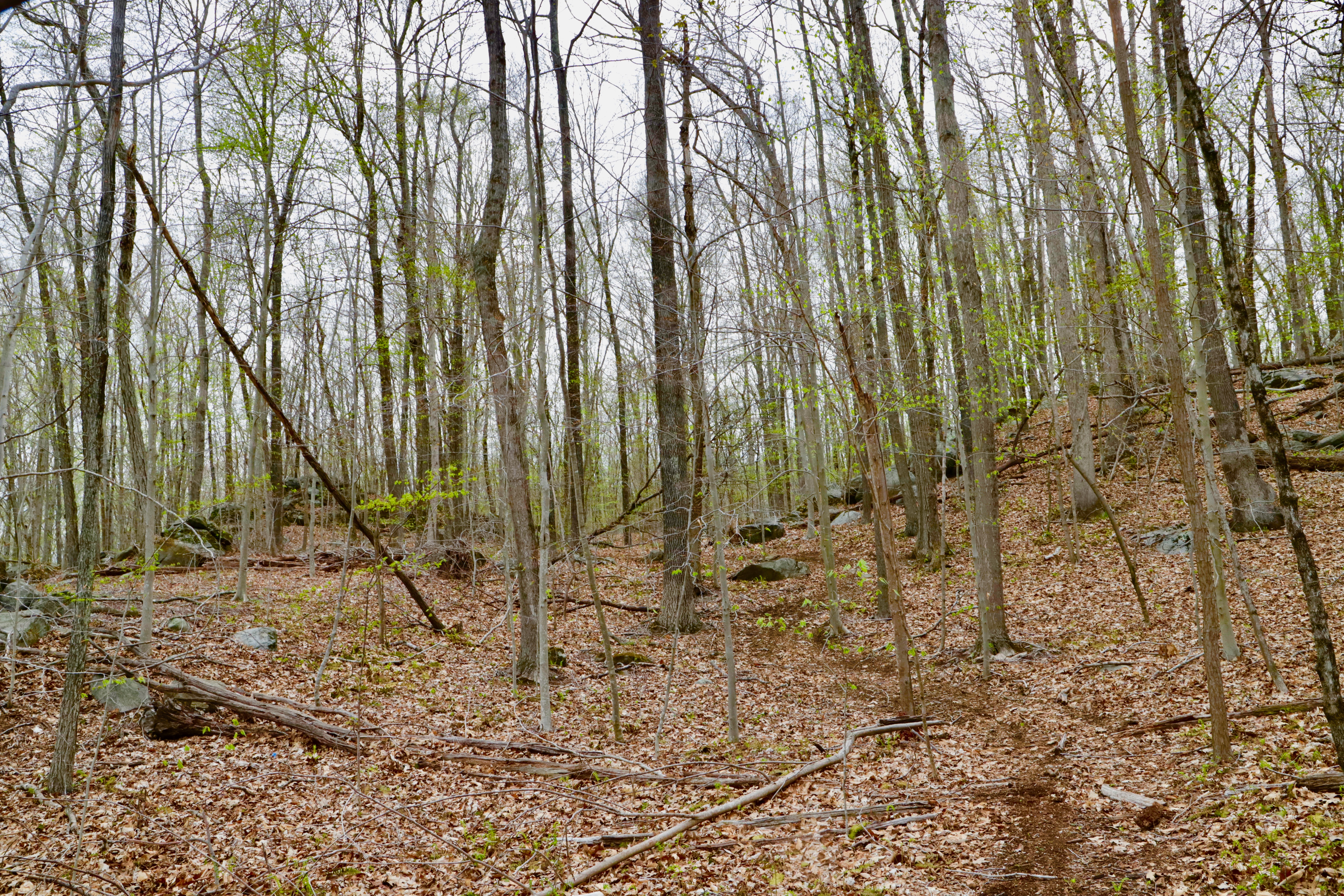 |
WESTBROOK HEIGHTS RD. | 2006 | Woodland & Trail | 0.2 | 275/131 | V0380400 177/049 |  |
POINTINA RD. | 2006 | Wetland | 0.11 | 275/855 | P0289700 192/035 |  |
TOBY HILL CHASE | 2006 | Upland Forest & Trail | 26.04 | 276/1039 | N0256900 134/012 | |
NOLF | 2012 | Tidal Wetland | 0.83 | 316/885 | M0223100 166/009 | |
1552 BOSTON POST RD | 2017 | Wetland & Upland Forest | 0.84 | 346/0308 |  | |
SEASIDE AVENUE | 2019 | Tidal Wetland | 11.47 | 354/0127 |  |
Holdings: Text
bottom of page